Call Anytime
3D Smart City Modeling

3D City Moduling
Geographical information systems (GIS) and GIS data are used by smart cities to enhance their services. The utilisation of this data improves municipal services, such as improving the effectiveness of utilities and transportation. In fact, mayors believe that data is the most effective instrument for enhancing cities
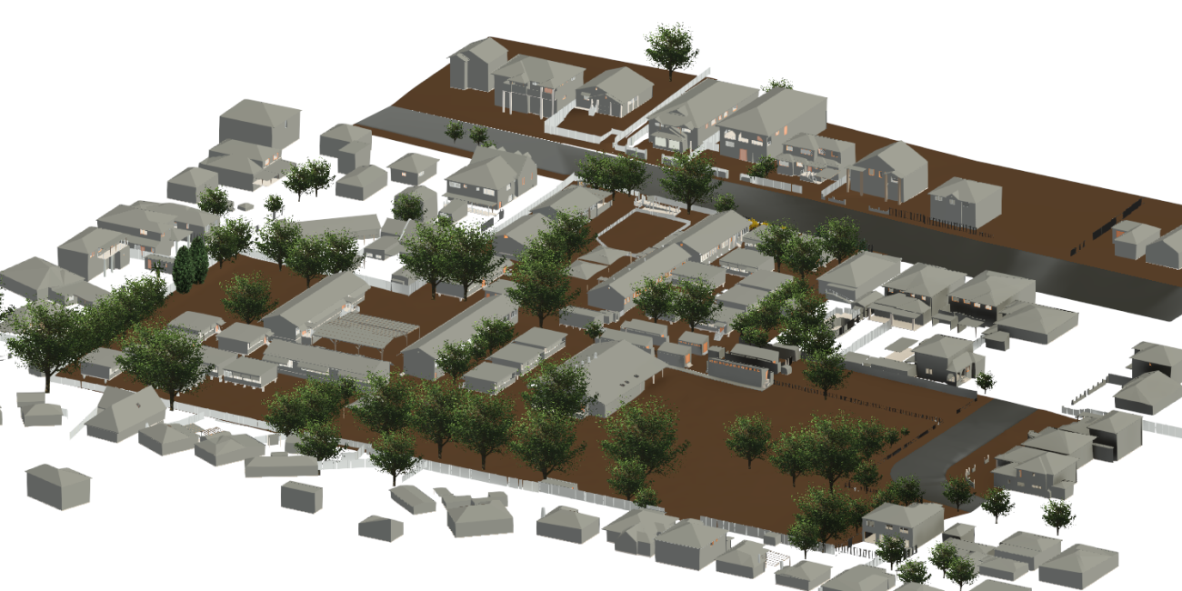
For more than 5 cities worldwide, we have already finished more than 2000 km2 of 3D city models in the LOD2 and LOD3 with measured wall and roof colors. Traditional applications like urban planning, environmental modeling, navigation, and location-based services all make use of our 3D models.
The improvement of inhabitants' quality of life will result from the development of smart cities, but doing so requires a blend of the appropriate technology and a smart city attitude. An innovative mindset is what drives a municipality to provide better services.
A digital twin city is a valuable tool that towns may currently adopt. A detailed digital depiction of an object is called a digital twin; In many different contexts, 3D city models are employed. They aid in making it easier to recognize the present location during navigation. They are essential to the map's ability to depict future appearances, such as through estimating gaps. Based on the size and amount of detail that you demand for your application, Allyces offers both digital and physical 3D city models.

Uses of 3D Moduling
- Enhanced Urban Planning
- 3D city models enable an easy simulation and visualization of potential developments for open spaces
- Improved Residential Safety
- One Step Ahead Emergency Plans
What is 3D City modeling?
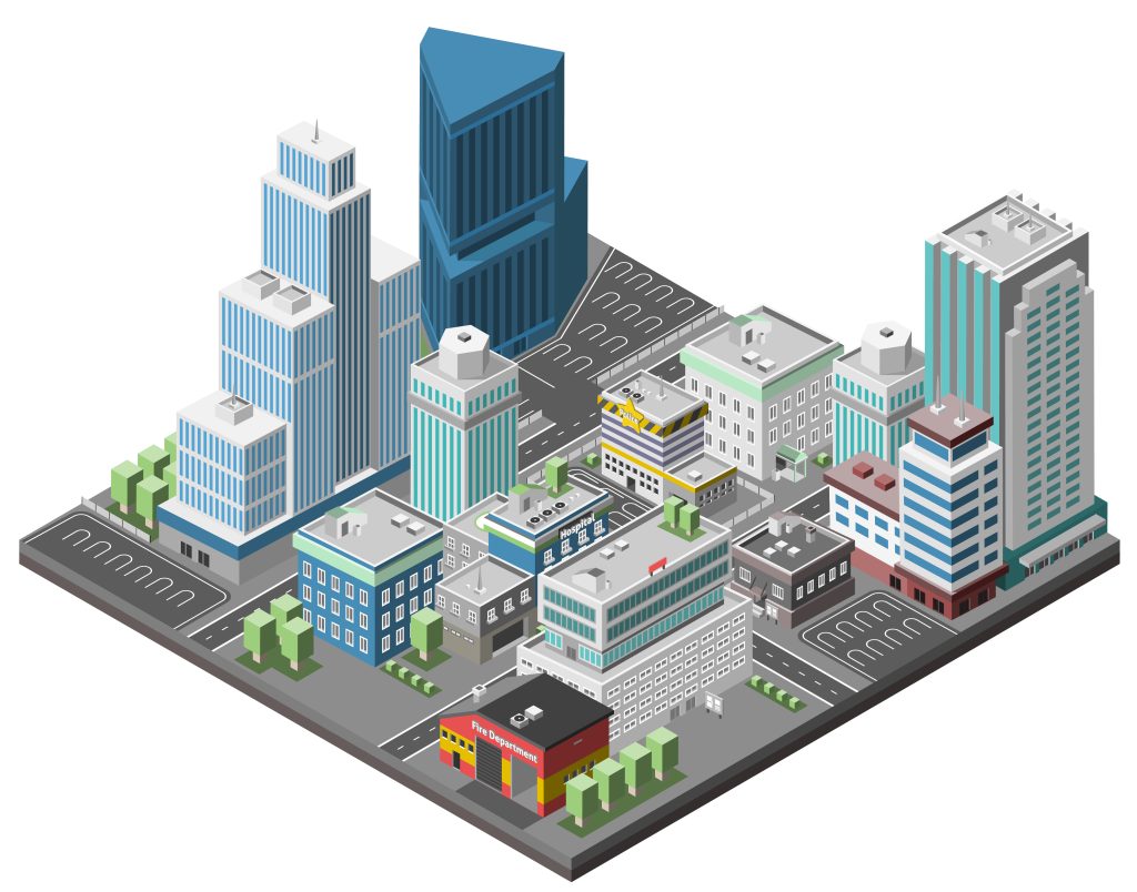
A 3D city model is digital model of urban areas that represent terrain surfaces, sites, buildings, vegetation, infrastructure and landscape elements in three-dimensional scale as well as related objects (e.g., city furniture) belonging to urban areas. Their components are described and represented by corresponding two- and three-dimensional spatial data and geo-referenced data. 3D city models support presentation, exploration, analysis, and management tasks in a large number of different application domains. In particular, 3D city models allow "for visually integrating heterogeneous geoinformation within a single framework and, therefore, create and manage complex urban information spaces.
What kinds of services for 3D city infrastructure modelling does Allyces offer?
The 3D city modelling services offered by Allyces entail the development of intelligent 3D city models of urban areas that include topography, sites, buildings, vegetation, infrastructure, and landscape components, as well as connected items. For the purpose of building 3D base maps, we collect data utilising 3D Mobile LiDAR and UAV (unmanned aerial vehicle)/drone. Either pictures or 3D point clouds represent the data that has been collected. The data is transformed into useful 3D models containing information on qualities, measurements, location, and other factors depending on the inputs. Governments and administrative organisations rely on Allyces to collect and supply the location data necessary for improved spatial planning, design, and administration of public works, transportation, and civic amenities.
Who uses 3D City Infrastructure modeling today?
Many governmental agencies, including the central and federal governments, state and municipal authorities, as well as governing councils, employ 3D city modelling solutions from Allyces to create 3D city base maps and models. These geographically intelligent information and models support improved public works, transportation, and civic amenities planning, design, and management. Digital twins, which are referred to as "virtual clones" of all assets inside an urban setting, and smart cities both need 3D city infrastructure modelling as a requirement. By itself, smart growth benefits both the cities and the people who live and work there. For instance, our urban maps assist the government in emphasising compact development and proper land use in areas with limited space.
The need of 3D city infrastructure modeling.
As a result of economic and social developments, particularly COVID-19, cities are faced with a number of urban planning issues. For instance, they must develop new regulations for housing, occupation, and city planning that address population density per unit area. In order to encourage a more sustainable environment for their population, they will need to plan new Infrastructure for better telecom connectivity, healthcare, and sanitization areas, as well as ways to incorporate alternate modes of transportation infrastructure, such as for bikes and pedestrians, and plan for more open public spaces, like parks, watersheds, and forests in the centre of the city. City governments can only carry out such meticulous planning if they have access to the most recent environmental data.
